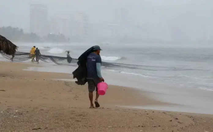
Two low pressure zones are under surveillance in the country, as they could evolve into a tropical storm
:quality(85)/cloudfront-us-east-1.images.arcpublishing.com/infobae/5B5YXSMEHRBTXMTRUV63ZN4MQI.jpeg)
Tropical Storm Alberto was downgraded to a tropical depression after making landfall in Tamaulipas on June 20, but it generated extreme rainfall and flooding in some regions of the country.
However, a few hours after the impact of the first cyclone of the 2024 hurricane season in the country, the National Meteorological Service (SMN) warned of the entry of a new phenomenon.
This is the cyclone that is also forming in the Atlantic and is located northwest of Chetumal, Quintana Roo. It could be named Beryl, only if it evolves into a Tropical Storm, since it is currently reported as a low pressure system.
What is its possible trajectory?
According to the most recent report from the National Water Commission (Conagua) as of 12:00 noon this Friday, there are so far two low pressure zones. The storm that could evolve into a cyclone and be named Beryl is located far from Mexican coasts and does not represent a danger at the moment.
It is currently moving near Florida, located north-northwest of the Bahamas.
When will Beryl make landfall?
Data from Conagua revealed that there is a 60% chance of cyclonic development in a period of between 48 hours and 7 days.
For its part, the SMN reported that the second low pressure is currently located in the Yucatan Peninsula, more specifically 90 km west of Ciudad del Carmen, Campeche and 80 km north of Villahermosa, Tamaulipas, moving west-northeast.
In this case, it was detailed that if it evolves into a tropical cyclone it could be named Chris.
It has up to a 50% chance of becoming a cyclone in the waters of the Gulf of Mexico in 48 hours.
Due to the presence of climate changes in some areas of the Republic, precipitation is expected for the next 24 hours.
Thus, heavy to torrential rains are expected in states such as: Veracruz, Puebla and Oaxaca.
As well as strong to intense rains in the states of Nuevo Leon, San Luis Potosi, Hidalgo, Jalisco, Colima, Michoacan, Guerrero, Oaxaca, Chiapas, Tabasco, Campeche, Yucatan and Quintana Roo.
Temperature changes have also been affected in some states. For example, in Mexico City a maximum temperature of 22 degrees Celsius and a minimum of 16 degrees Celsius is forecast for the next few hours and remnants of rain during the weekend.
Source: infobae


