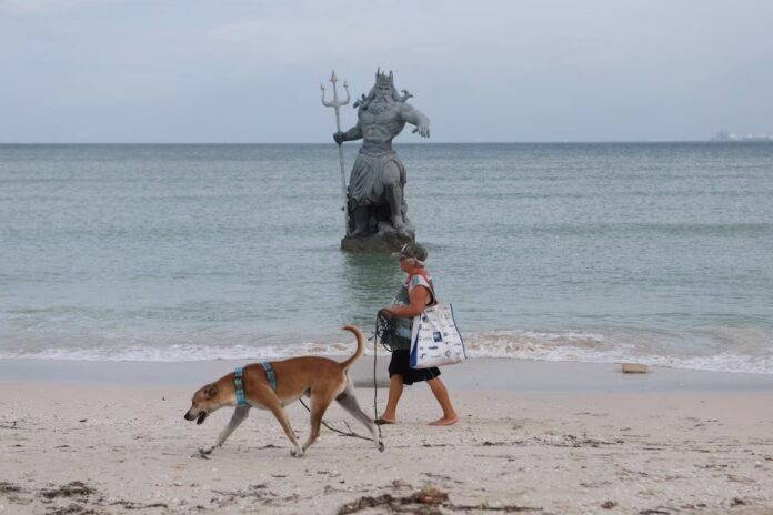
Although the cyclone did not make landfall, its center was only 60 kilometers from the coast of Progreso.
In the morning conference on Tuesday, October 8, the governor of Yucatán provided an update after Hurricane Milton passed near the Mexican coast. According to Joaquín ‘Huacho’ Díaz Mena, the cyclone was just 60 kilometers from Progreso and, although fortunately it did not make landfall, its effects caused some flooding in coastal areas. Fortunately, there were no reported fatalities, injuries, or missing persons.
“Fortunately, no casualties so far (…) we have only been reported flooding in the port of Celestún, some fallen poles, the Federal Electricity Commission has been working since early morning, power has been restored, but overall, minor damages. I must acknowledge the culture of prevention among the coastal citizens, all ports were evacuated,” said ‘Huacho’ Díaz.
Additionally, Díaz Mena highlighted that more than 440 temporary shelters were set up, accommodating nearly six thousand people evacuated from high-risk areas. The governor of Yucatán also indicated that operations at the Mérida International Airport would resume at 9:00 AM on Tuesday, October 8, and a review of non-essential activities returning to normal would follow shortly.
Milton Advances Through the Gulf of Mexico
Furthermore, the governor of Yucatán indicated in the “La Mañanera del Pueblo” conference by President Claudia Sheinbaum Pardo the current course of the tropical cyclone: “Hurricane Milton is located off the coast of Dzilan, about 120 kilometers from the coast. It is expected to be off the coast of San Felipe and Río Lagarto by noon, moving northeast at 15 km/h towards Florida,” said the governor.
According to the latest advisory from the National Meteorological Service (SMN), the center of Hurricane Milton, currently a Category 4, is located 125 kilometers from Río Lagartos and 150 kilometers north-northeast of Tzilam, both communities in Yucatán. The system has maximum sustained winds of 240 km/h and gusts of up to 295 km/h, maintaining a steady east-northeast movement at about 15 km/h.
Its wide circulation and cloud bands will cause intense rains (75 to 150 mm) in Yucatán; very heavy rains (50 to 75 mm) in Campeche and Quintana Roo; and heavy rains (25 to 50 mm) in southern Veracruz and Tabasco on Tuesday.
Wind gusts of 180 to 200 km/h, waves of 6 to 8 meters high, and possible formation of waterspouts are also expected on the coasts of Yucatán; gusts of 70 to 90 km/h, waves of 2 to 4 meters high, and possible formation of waterspouts on the coasts of northern Campeche and northern Quintana Roo; and gusts of 60 to 80 km/h and waves of 1 to 3 meters high on the coasts of southern Veracruz and Tabasco. A storm surge of 1 to 2 meters is also expected over northern Campeche and Yucatán, according to the agency.
Source: Infobae


