
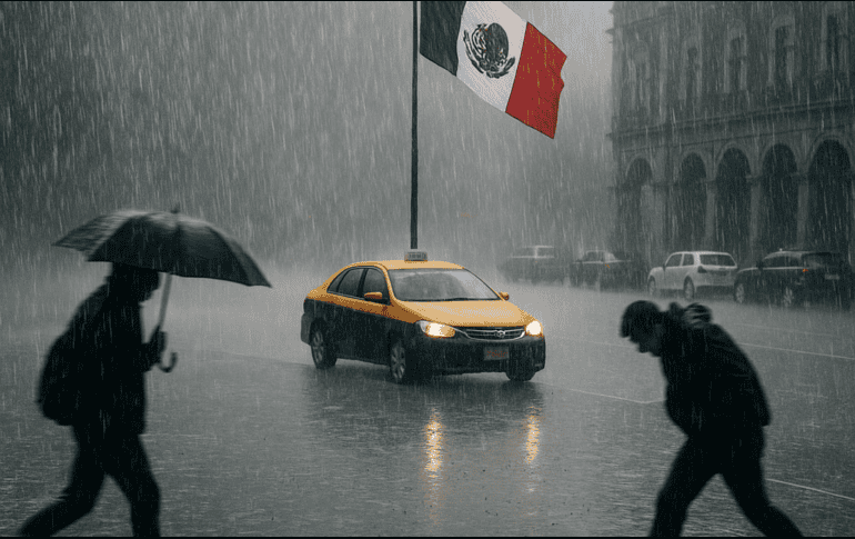
After more than three years of influencing the global climate, the La Niña phenomenon has come to an end, giving way to a neutral phase within the El Niño-Southern Oscillation (ENSO) cycle.
This transition in oceanic and atmospheric conditions will significantly impact rainfall and temperature patterns in Mexico in the coming months. According to specialists, the shift to a neutral phase could favor an increase in rainfall and mitigate extreme temperatures, especially in areas that have faced prolonged droughts.
According to projections from the International Research Institute for Climate and Society (IRI), the Neutral phase will certainly occur (100%) during the spring. It is expected to continue through the summer with a 60 to 80% probability, and persist into the fall with a 40 to 60% probability. However, changes could occur during this same period.
The neutral phase tends to stabilize rainfall and temperature patterns, although it does not rule out the possibility of unexpected extreme events, such as heat waves, intense rainfall, or tropical cyclones. Cool or cold periods could even occur, although these are less likely.

Which states could be affected?
This phenomenon could cause a significant increase in rainfall in the central-eastern part of the country, due to the interaction of cold fronts with troughs in the north, the divergence of anticyclones, and the combined effect of heat and the national terrain.
Under these conditions, intense events accompanied by hail could occur from Coahuila to Veracruz, also including the Altiplano, particularly in the central region and the Valley of Mexico.
In May, a significant increase in rainfall is expected in the central-eastern region of the country. The most affected areas would range from the northeast, encompassing states such as Coahuila and Tamaulipas, to the Gulf Coast, including Veracruz, as well as the Yucatan Peninsula and the Altiplano, from San Luis Potosí to Mexico City and Puebla.
In these areas, the weather is expected to be less hot; in contrast, the western half of the country would experience less rain and higher temperatures.
What will the hurricane season be like?
In early April, the University of Colorado presented its first forecast for the Atlantic hurricane season, anticipating above-average activity. Seventeen named storms are expected, nine Category 1 or 2 hurricanes, and four major hurricanes of Categories 3, 4, or 5.
An update will be released in the coming weeks to confirm any changes to these projections. Meanwhile, the same university has issued percentage estimates of the probability of a direct hit by cyclones on the Caribbean and Gulf of Mexico coasts: 84% for any type of cyclone, 53% for hurricanes, and 23% for major hurricanes (categories 3, 4, or 5).
Source: informador
.")

