The tropical cyclone season in the Pacific is about to begin, and civil protection authorities are already preparing for what could be a period of high meteorological activity.
According to the State Coordination of Civil Protection and Risk Management (CEPCyGR), current oceanic and atmospheric conditions point to a more active than usual scenario, marked by the transition of the La Niña phenomenon to a neutral climate state.
According to forecasts, between 16 and 20 tropical phenomena could form in the northeastern Pacific during this season.
Hurricane Season in Oaxaca
The Transition of La Niña
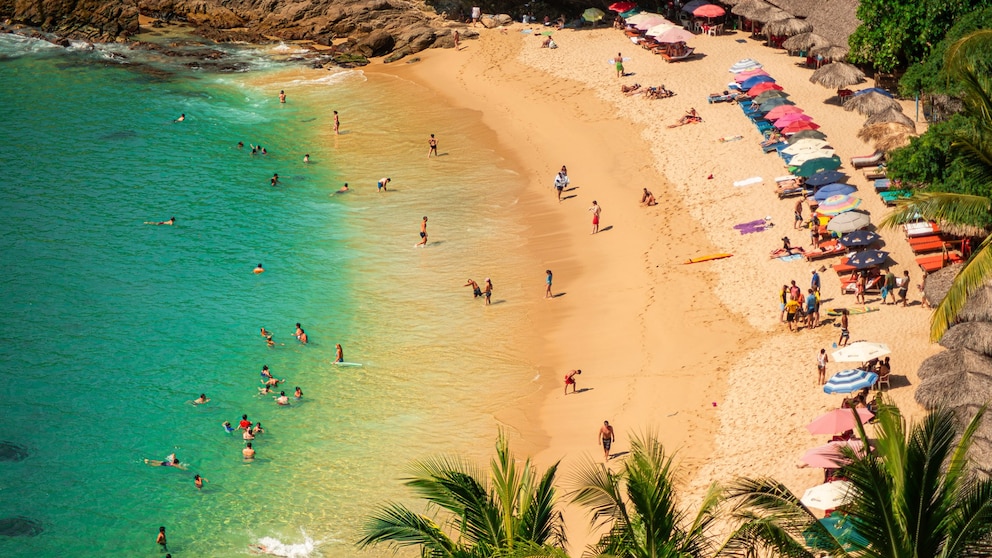
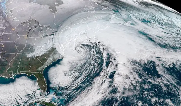
The transition of La Niña to a neutral state increases the risk of intense storms on the Mexican coast (Oaxaca State Tourism Secretariat)
The 2025 Tropical Cyclone Season will officially begin on May 15 in the Pacific Ocean, while in the Atlantic it will begin on June 1, extending in both basins until November 30.
The head of the CEPCyGR, Manuel Maza Sánchez, explained that between 16 and 20 meteorological phenomena are expected to form in the northeastern Pacific.
Of these, between 8 and 9 will be tropical storms, 4 to 6 will reach major hurricane status (categories 1 and 2), and 4 to 6 could become intense hurricanes, with the potential to reach categories 3, 4, and 5.
In the case of the Atlantic, between 13 and 17 phenomena are forecast, of which 7 or 8 will be tropical storms, 3 or 4 major hurricanes, and between 3 and 4 intense hurricanes.
According to national forecasts, during the months of May and June, the state of Oaxaca could experience above-average rainfall, especially in the mountainous regions, as well as in the eastern and southeastern parts of the state.
In May, a rainfall of 40.5 millimeters (mm) is forecast, slightly higher than the historical average, while in June, 115.5 mm is expected, representing a 15.7% increase compared to the climatological average.
One of the factors that can influence the intensity of the season is the monsoon trough, which carries moisture from the Pacific; the Central American Gyre, associated with low-pressure systems; and the Intertropical Convergence Zone, which can generate storms.
Furthermore, tropical waves crossing the Gulf of Tehuantepec are responsible for 80% of the cyclones that form in the region.
Given this situation, Manuel Maza Sánchez urged both citizens and authorities to stay informed about the evolution of weather conditions through official sources.
He also stressed the importance of following preventive recommendations to safeguard life and property during this cyclone season.

Source: infobae


