
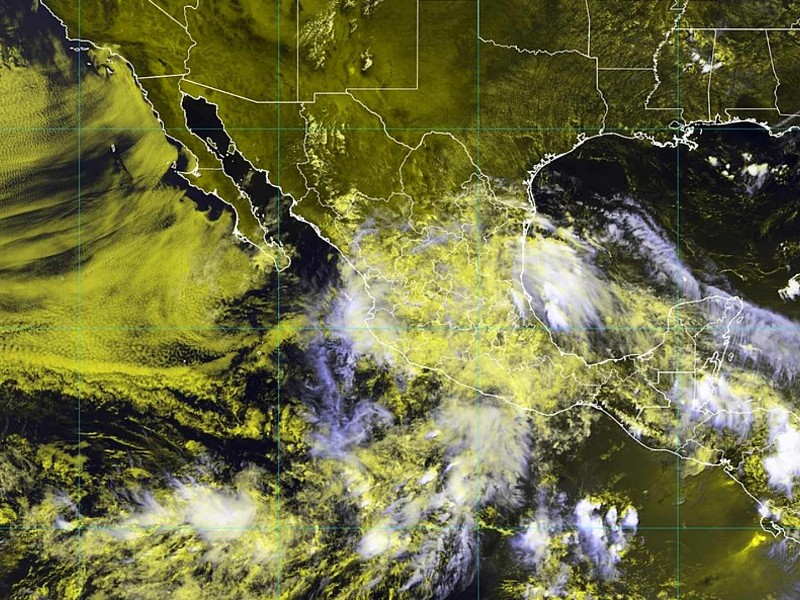
Although not yet fully developed, a low-pressure zone off the coast of Oaxaca and Chiapas has a 70% chance of developing into a cyclone in the next seven days.
From Wednesday, June 25th, through Friday, June 27th, heavy to very heavy rains are expected across much of the country. This is due to the combination of several factors: low-pressure channels, moisture from the ocean, a trough in the upper atmosphere, a monsoon-like pattern in the northwest of the country, and the entry of tropical wave number 6 through the Yucatán Peninsula.
On Wednesday, heavy rains (75 to 150 mm) are expected in Chihuahua, Hidalgo, Puebla, Veracruz, Oaxaca, and Chiapas. There will also be very heavy rains in Sonora, Durango, Sinaloa, Nayarit, Jalisco, San Luis Potosí, and Tabasco, and heavy showers in 19 other states, including Mexico City.
Heavy rains will continue in Puebla, Veracruz, Oaxaca, and Chiapas on Thursday. Heavy rainfall is also expected in northern and western states such as Sonora, Chihuahua, Durango, Nayarit, and Jalisco, and in central areas such as Hidalgo, the State of Mexico, and Tabasco.

On Friday, the heaviest rains will be concentrated in Veracruz, Oaxaca, Chiapas, and Tabasco. However, heavy rains will also fall in northern states such as Sonora, Chihuahua, and Sinaloa, and southern states such as Guerrero and Campeche.
The National Meteorological Service (SMN) also reported that the low-pressure area southwest of El Salvador has a 10% chance of becoming a cyclone in the next 48 hours. However, the forecast increases to 70% over the next 7 days, indicating a high possibility of the formation of Cyclone Flossie by the weekend.
Given this situation, authorities recommend that the public monitor weather reports and take precautions, especially in mountainous areas where landslides, flooding, and increased river and stream flows could occur.
Source: meganoticias


