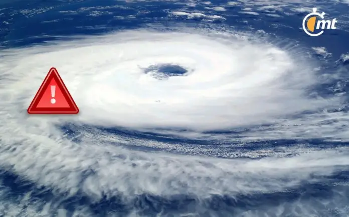
Monitoring of weather systems in the Eastern Pacific has identified an area of interest that could develop into a tropical cyclone in the next 48 hours. This phenomenon, known as Potential Tropical Cyclone Hurricane Bud, has caught the attention of meteorologists and civil protection authorities due to its possible impact on nearby coasts.
The 2024 Hurricane Season in the Pacific Ocean has shown a late start, marked by atypical conditions such as persistent heat waves and the presence of a dominant anticyclone. However, as we progress through the year, meteorologists have intensified surveillance over a specific area of low pressure that could transform into a significant tropical cyclone, possibly called Hurricane Bud in the coming days.
Is Hurricane Bud approaching?
After the passage of Hurricane Aletta, the National Meteorological Service (SMN) has identified the next potential weather system, called Bud, on its monitoring list. Although it cannot yet be confirmed that it will become a hurricane, it is on track to develop into a cyclone. Currently, this low pressure area is located in the Pacific Ocean, approximately 1,855 km west-southeast of Cabo San Lucas, in Baja California Sur, which indicates a relative proximity to the country and its coasts.
Trajectory of the possible Hurricane Bud According to SMN reports, the probable hurricane or cyclone Bud is moving west-northwest, with an estimated speed between 16 and 24 km/h, subject to variations depending on weather conditions. This low pressure area currently has a cyclonic development forecast of 40% for the next 24 hours, with the possibility of it forming on Thursday, July 18, maintaining this figure for the next 7 days.
The SMN will continue to closely monitor this low pressure area and provide updates on its evolution, as there is a possibility that it may strengthen and become a new hurricane in the Pacific, or dissipate in the coming hours and days.
Source: mediotiempo


