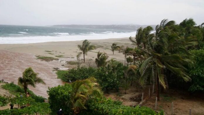
The National Meteorological Service (SMN) forecasted the day and state where the possible tropical storm could impact Mexico.
The phenomenon is expected to form during the afternoon or evening of this Wednesday, from Tropical Depression Eleven-E, off the coast of Oaxaca.
When Could ‘Kristy’ Impact? According to the agency, once the depression becomes a tropical storm, the phenomenon could impact between Thursday, October 3, and Friday, October 4.
“It is expected that Kristy will continue as a tropical storm off the coast of Oaxaca, to later make landfall during the night of Thursday, October 3, or the early hours of Friday, October 4,” said José Daniel Pretelín Ramos, SMN meteorologist, in a press conference.
Where Could ‘Kristy’ Impact? In a press conference, the SMN forecasted that the tropical cyclone could impact between Playa Corralero and Puerto Ángel, in Oaxaca.
“Once on land, Kristy will continue with a slow movement, moving parallel to the coast from Guerrero to Jalisco.”
Where is Tropical Depression Eleven-E? According to the 12:00 p.m. report, Tropical Depression Eleven-E is located 115 kilometers south-southeast of Puerto Ángel and 120 kilometers south of Bahías de Huatulco, both points in Oaxaca.
States Affected by ‘Kristy’s’ Path The meteorologist specified that, in its path, Kristy will leave the following impacts in Mexico:
- Extraordinary rainfall: Oaxaca, Chiapas, Veracruz, and Tabasco
- Intense rainfall: Guerrero and Campeche
- Heavy to very heavy rainfall: Michoacán, Morelos, State of Mexico, and Puebla
All the forecasted precipitation could cause landslides, floods, and increase the levels of rivers and streams in the aforementioned states.
Warnings for Strong Winds and High Waves Additionally, winds with gusts of 60 to 80 km/h, waves of 1 to 3 meters high, and possible formation of waterspouts are forecasted on the coasts of Oaxaca and Chiapas, as well as winds of 50 to 70 km/h and waves of 1 to 2 meters high on the coast of Guerrero,” warned the official.
“A call is made to maritime vessels to take extreme precautions and to the ports in Oaxaca, Chiapas, and Guerrero.”
Furthermore, the general population is asked to pay attention to the recommendations issued by the National Civil Protection System and the notices and bulletins issued by the SMN.
Source: Milenio


