

Fishermen, Boat Operators, and Tourism Service Providers Urged to Exercise Extreme Caution Amidst Wind Gusts, Rough Seas, and Low Visibility
The presence of troughs and the passage of tropical waves are maintaining unstable conditions in the Gulf of Mexico, where maritime authorities are warning of the potential for localized storms accompanied by showers, strong wind gusts, high swells, electrical activity, and reduced visibility—particularly in coastal zones and maritime regions.
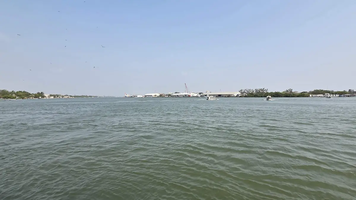
According to the meteorological report issued by the Regional Port Authority of Tampico, a “Surada event” remains in effect, featuring southeasterly winds ranging from 28 to 37 kilometers per hour—with gusts reaching up to 46 kilometers per hour—as well as swells between 1.5 and 2 meters in height.
Intense Rains and Thunderstorms in Veracruz and Tamaulipas
These conditions are impacting the coast of Tamaulipas, the northern zone of Veracruz, as well as the northwestern, southwestern, and central regions of the Gulf of Mexico. Consequently, small craft, artisanal fishermen, and tourism service providers are advised to exercise extreme caution given the risk of rough seas and reduced visibility.
The forecast for the next 72 to 96 hours indicates a significant increase in the potential for rainfall. Intervals of heavy showers are anticipated, with accumulations ranging from 25 to 50 millimeters, alongside isolated very heavy storms that could yield between 50 and 75 millimeters—with maximum accumulations reaching up to 100 millimeters—accompanied by lightning and electrical activity.
These precipitation events will primarily impact Tamaulipas and the north-central region of Veracruz. For northern and central Veracruz, intervals of showers ranging from 5.1 to 25 millimeters are expected, with isolated heavy storms producing 25 to 50 millimeters and maximum accumulations of up to 75 millimeters, also accompanied by electrical activity. Specialists warn that this scenario could lead to urban flooding, rising water levels in streams and fast-response rivers, as well as disruptions to small-craft navigation and fishing activities in coastal lagoons.
Compounding these conditions is the presence of a tropical wave located south of latitude 17.0° North and along longitude 81.0° West, currently traversing the vicinity of Nicaragua. This system is moving westward at an approximate speed of 18 kilometers per hour, generating moderate convective activity along its axis.
Although it currently poses no direct threat to the Mexican coastline, it remains under constant surveillance due to its potential interaction with prevailing atmospheric conditions in the Gulf of Mexico.
Maritime authorities advise coastal residents, fishermen, and nautical operators to stay informed through official advisories and to heed preventive instructions, as conditions could change abruptly in the coming hours.
Source: oem


