
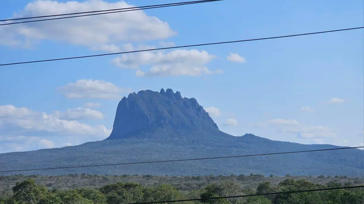
The first seismic activity of October in Tamaulipas occurred at 5:00 p.m. on Thursday, September 2, near Cerro del Bernal, a geographic icon of the state.
According to the National Seismological Service (SSN) of the UNAM (National Autonomous University of Mexico), the earthquake was recorded 23 kilometers (km) west of González, with a magnitude of 3.3 on the Richter scale, a depth of five kilometers, and a short distance from the green mountain.
In 2025, 21 earthquakes have been recorded in Tamaulipas.
With this seismic activity, 21 earthquakes were recorded this year, and in 2024, a total of 53 earthquakes were recorded from January to December.
According to the SSN, two earthquakes occurred on Sunday, September 21, without causing damage or impact. The first earthquake occurred at 10:15 a.m., 33 km southwest of Mante, with a magnitude of 3.4 and a depth of four kilometers.

The second earthquake occurred at approximately 2:43 p.m., 49 km southwest of Ciudad Victoria, measuring 3.8 on the Richter scale and measuring five kilometers deep.
According to the National Seismic Catalog (SNN), the area of Tamaulipas most affected by seismic activity this year is the sugarcane region; Mante is the most affected municipality, accounting for eight of the 21 cases.
According to the Secretariat of Hydraulic Resources for Social Development, the sugarcane region includes the cities of Nuevo Morelos, Antiguo Morelos, Mante, Xicoténcatl, Ocampo, and Gómez Farías.
After Mante, the municipalities of San Fernando and González with the greatest tectonic plate movements are San Fernando, Ciudad Victoria, and González.
On Thursday, October 2, in the municipality of González, near Cerro del Bernal, the first earthquake of the month in Tamaulipas occurred. It is the twenty-first earthquake in the state.
Source: oem


