

A mass of atmospheric instability, popularly known as a “black storm,” is generating rain across much of Mexico, with rainfall ranging from heavy to moderate depending on the region.
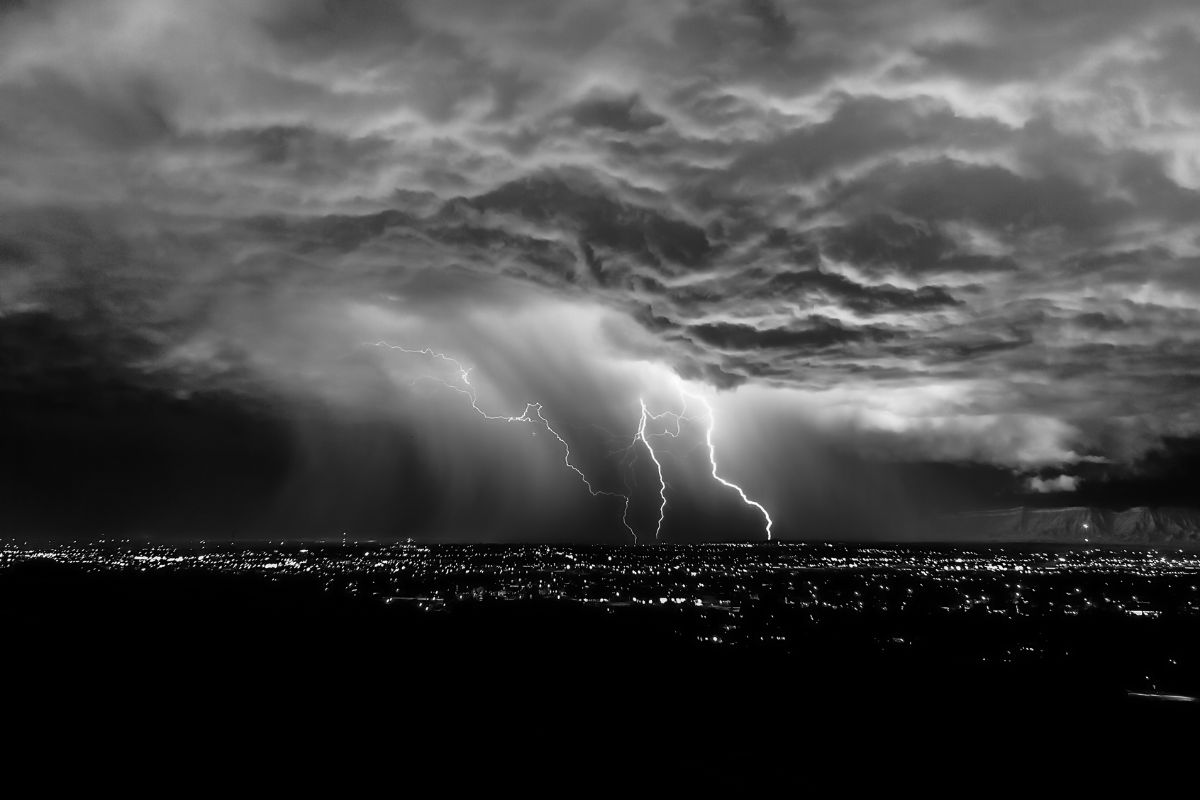
What is a “black storm”?
The term “black storm” is not official, but it is used to describe systems of dense, moisture-laden clouds with significant vertical development, which produce heavy rain, dark skies, lightning, and, in some cases, strong winds.
This phenomenon is usually associated with the combination of cold fronts, low-pressure troughs, and an influx of moisture, which increases the likelihood of precipitation in different parts of the country.
According to the forecast for this Tuesday, the rains will be distributed as follows:
Heavy rains: Oaxaca and Chiapas
Sturdy rains: Mexico City, State of Mexico, Nuevo León, Tamaulipas, San Luis Potosí, Michoacán, Hidalgo, Tabasco, Campeche, and Veracruz
Showers: Coahuila, Durango, Zacatecas, Guanajuato, Querétaro, Tlaxcala, Morelos, Guerrero, and the Yucatán Peninsula
For the state of Querétaro, showers are expected, meaning intermittent rain that may occur during the afternoon or evening, accompanied by cloudy skies and possible lightning.
Although heavy rainfall is not expected, authorities recommend taking precautions, as these events can cause:
Flooding in urban areas
Slow traffic
Reduced visibility
Sudden temperature changes
Recommendations: The public is urged to stay informed about forecasts, avoid crossing flooded areas, and exercise extreme caution while driving during rain.
Source: aldialogo


