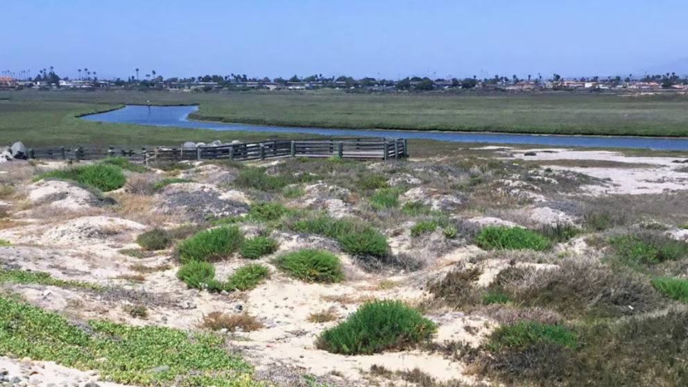

Over the past forty years, Mexico has undergone a territorial transformation that resulted in the loss of 4.1 million hectares of native vegetation, a figure that illustrates the advance of urbanization and agricultural activities across much of the country. This area is equivalent to the entire territory of Yucatán plus nearly one-third of the state of Morelos, illustrating the magnitude of the environmental change.
In contrast to the loss of natural cover, areas dedicated to agriculture, livestock farming, and urban development increased by 3.9 million hectares, representing an 8% growth in the area used for human activities. By 2025, the report indicates that the remaining natural vegetation totaled 141.104 million hectares, an area close to one thousand times the size of Mexico City.
Agricultural and urban expansion transforms Mexican territory
These figures come from the first collection of annual land-cover and land-use maps for Mexico (1985–2025), produced by the MapBiomas Mexico Network, which compiles, analyzes, and spatially reconstructs land-cover and land-use dynamics across the country’s 32 states over four decades.
This land-use change analysis makes it possible to identify specific regional patterns. In the arid and semi-arid north, shrubland is predominantly being replaced by annual crops. Ten northern and north-central states, including Sonora, Coahuila, Durango, Zacatecas, and Chihuahua, show some of the country’s most extensive territorial changes, with Sonora leading the transition from shrubland to agriculture.
In central Mexico, urban expansion ranks among the three main land-use transitions in states such as Mexico City, State of Mexico, Morelos, Querétaro, Hidalgo, Jalisco, and Michoacán. In Puebla and Tlaxcala, the dominant process is the loss of temperate forest.
The northeastern region, made up of states such as Nuevo León and Tamaulipas, is characterized by the conversion of land into cultivated grasslands, reflecting livestock pressure on the territory’s original vegetation.
Gulf region and Yucatán Peninsula: greatest intensity of change
The Gulf region and Yucatán Peninsula show the greatest relative intensity of transformation nationwide. States such as Tabasco, Yucatán, Campeche, Chiapas, and Veracruz lead the national dynamics, with intense flows in both directions among tropical forests, grasslands, and annual crops. This dynamic is associated with livestock farming, rotational agriculture, and processes of secondary succession, demonstrating the constant pressure on natural resources.
Another significant finding is the reduction in permanent ice and snow cover. Although it represents a smaller portion of the national territory, glacier coverage fell from 17,000 to 8,000 hectares, representing a 52.9% reduction during the period analyzed.
Technological tools and sustainable management
The generation of this data stems from the collaboration of 59 specialists beginning in 2025, bringing together technical capabilities and territorial knowledge to provide useful information to citizens, government institutions, the academic community, and decision-makers. This information strengthens analysis and management aimed at the sustainable use of territory and natural resources.
The methodology is based on processing satellite imagery using artificial intelligence and machine learning, with a spatial resolution of 30 meters. The result is an interactive platform that provides free and public access to annual maps, statistics, and downloadable data on land cover and land use across all 32 states.
The availability of this strategic information helps provide an understanding of territorial transformation patterns and generate actions aimed at the responsible management of natural resources, amid the continued expansion of agricultural, livestock, and urban frontiers into Mexico’s native vegetation.
Source: infobae