
Tabasco Begins LiDAR Aerial Surveys to Create 3D Maps
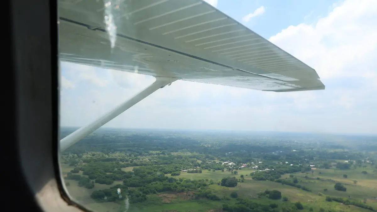
The Government of Tabasco has begun specialized aerial surveys using LiDAR technology to update the state’s cartographic and cadastral information and create highly precise three-dimensional maps of its territory.
The project began on September 10, 2026, after five years without specialized aerial surveys of this type. The launch was led by Talina Ferrer Cadenas, Secretary of Administration and Finance, who said the incorporation of LiDAR technology will provide more current, precise and reliable territorial information for government planning and decision-making.
The aerial surveys will cover five municipalities: Huimanguillo, Cárdenas, Cunduacán, Comalcalco and Paraíso. Authorities consider these areas strategically important because of their economic and urban development.
How LiDAR Technology Works
LiDAR stands for Light Detection and Ranging. It is a remote-sensing technology that uses laser pulses emitted from an aircraft to scan the Earth’s surface.
By measuring the time it takes for the laser pulses to return after hitting the ground or other surfaces, the system can obtain extremely precise measurements and reconstruct the terrain digitally. The information can then be used to create three-dimensional maps and highly detailed representations of both natural and urban environments.
According to state authorities, the technology will allow measurements with millimeter-level precision, providing a much more detailed picture of the territory than conventional mapping methods.
Updating the Cadastral Registry
One of the project’s main objectives is to update Tabasco’s official cadastral information.
Authorities intend to incorporate properties, land parcels and buildings that do not currently appear in official maps or registries. This could help bring the territorial registry up to date and provide authorities with a more complete picture of how land is being used.
The project will also modernize digital maps using highly precise topographic information. Having updated cadastral data can help government agencies improve territorial planning and make decisions based on more accurate information.
The surveys are part of the State of Tabasco’s Executive Cadastral Modernization Project, developed in coordination with Mexico’s Secretariat of Agrarian, Territorial and Urban Development (SEDATU).
Information for Urban and Economic Planning
The new geographic information is expected to provide authorities with better tools for planning future development in the five municipalities included in the project.
The government says that modern cadastral information can help it better understand the territory, plan urban growth and strengthen public administration.
The data could also be useful for infrastructure projects connected to the Interoceanic Corridor of the Isthmus of Tehuantepec, particularly where the corridor passes through Tabasco. Officials said the aerial surveys will provide detailed and objective territorial information that can support the planning and development of infrastructure associated with the project.
High-Resolution Aerial Images Will Be Preserved
The surveys will also generate high-resolution orthophotos, which are aerial images corrected for geometric distortions so they can be used as accurate geographic references.
These images will not only be used for current planning. The government plans to incorporate them into the General Archive of the State of Tabasco, creating a historical and geographic record of the territory that can be preserved for future generations.
This means that the project is intended to serve both an immediate administrative purpose and a longer-term documentation purpose.
Five Years After the Previous Surveys
Talina Ferrer Cadenas highlighted that Tabasco is resuming specialized aerial surveys after a five-year interruption.
She described the new project as more than a technical exercise, saying that it represents the recovery of institutional capabilities and the use of new technology to improve public decision-making.
The government considers the modernization of cadastral information an important part of moving toward a more digital administration, with territorial data that is more current, precise and reliable.
The first phase therefore combines aerial laser scanning, three-dimensional mapping, cadastral updating, high-resolution aerial photography and territorial planning, with the additional objective of supporting infrastructure development in one of the country’s major regional development corridors.
Source: oem