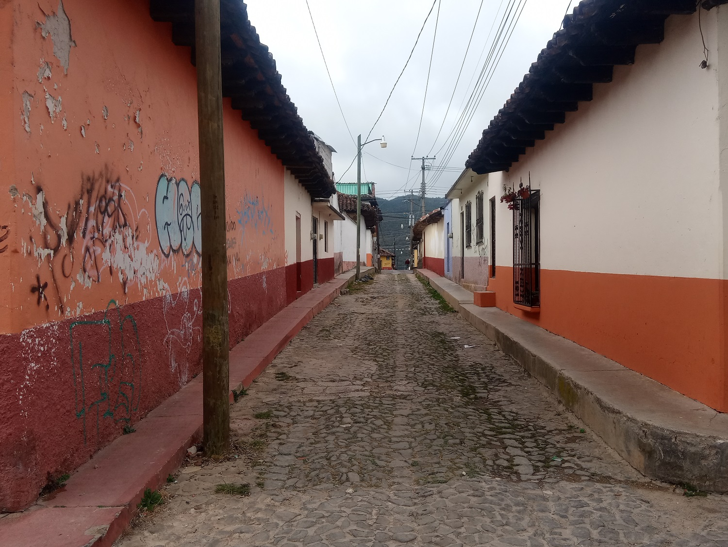

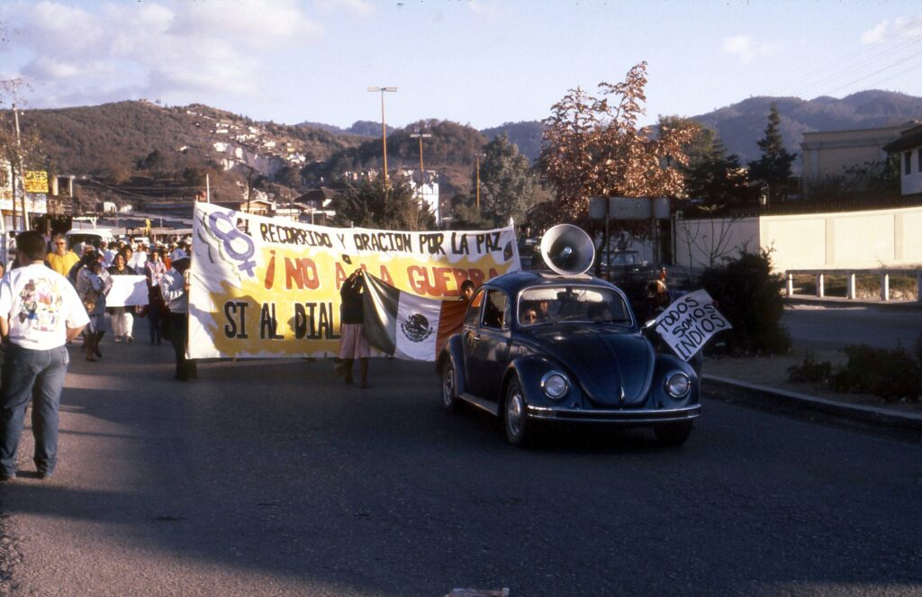
First quarter of 1996. San Cristóbal de las Casas, Chiapas. The excitement surrounding the movement that had begun on January 1, 1994, by Indigenous Maya peoples (Tzeltals, Tzotzils, Chols, and Tojolabals) who had decided to take up arms to demand justice and bring attention to their poverty was still present and remained active. The San Andrés Larráinzar Accords had just been signed. Amid marches, political agreements, statements, photographs, and reports, reality continued to move forward.
She and I were supposed to begin our fieldwork on the coast shortly. We would live in a small riverside fishing community called “La Palma,” belonging to the municipality of Acapetahua and part of the “La Encrucijada” Biosphere Reserve, a protected natural area of more than 144,000 hectares encompassing six municipalities.
We chose that location because I stubbornly wanted to continue studying crocodiles, while she had designed an attractive project with local fishermen. So, let’s get to work! We planned our departure, considering the essential equipment for our first stay: the necessary clothing, field boots, sandals, notebooks, cameras, binoculars, hats, caps, sleeping bags, and backpacks.
We reviewed the options for reaching our destination using the available public transportation. The journey involved an extensive trip through the Sierra Madre of Chiapas, a beautiful and lush mountainous region. But we were far away, approximately 375 kilometers, so it would be a long journey.
Our starting point was San Cristóbal de las Casas. Our transportation was an Ómnibus Cristóbal Colón, a bus line that would later be absorbed by Autobuses de Oriente (ADO). We boarded at seven in the morning, a little sleepy but full of enthusiasm. We began the journey without any problems and, a couple of hours later, arrived in Comitán de Domínguez, birthplace of the unforgettable Belisario Domínguez and Rosario Castellanos. We were in Balún Canán, “the place of the nine stars.” The bus stopped for a few minutes to allow more passengers to board. Then we continued.
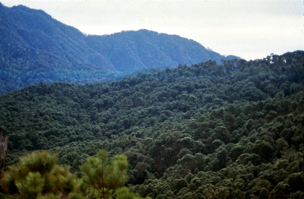
The driver’s skill in handling the bus along narrow lanes, sharp curves, and virtually nonexistent shoulders was undeniable. Our progress was slow and unhurried. The twists and turns of the road invited either motion sickness or sleep, whichever came first. At one point, we waved goodbye to La Trinitaria, a place we had frequently passed through months earlier while working on a project in the town of Tziscao, located about forty kilometers farther on and serving as the entrance to Lagunas de Montebello National Park.
Two more hours of travel and we arrived in Frontera Comalapa, on the border between the Sierra Madre of Chiapas and the Central Depression. It was also a key point for commerce in the area and the movement of people, given its proximity to Guatemala. We took a short break to cool down, eat something, and stretch our legs. The journey continued.
We began climbing into the mountains. As we moved forward, the deep rumble of the engine and the sluggish pace revealed the vehicle’s effort as it began climbing the winding slopes. In a short while, we went from an altitude of 600 meters to more than 1,200 meters above sea level. The air felt different, and the temperature had dropped noticeably. The landscape surrounding us was unique, filled with different shapes, colors, and forms of life.
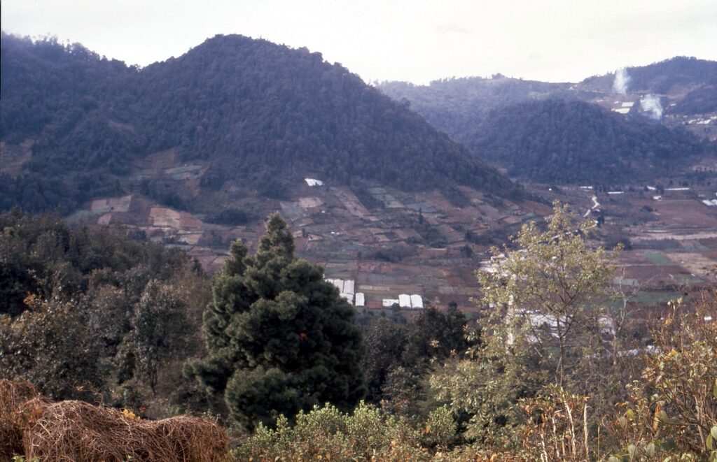
The bus stopped. We had arrived in Motozintla de Mendoza, located at the highest point of the Sierra Madre of Chiapas. The pine and oak forest intertwined with coffee plants welcomed us. History tells us that, as in many other places, this region’s small coffee producers had been highly dependent on the Instituto Mexicano del Café (INMECAFÉ), a federal government institution that regulated prices, provided technical assistance, and financed loans, but also collected a large portion of the coffee beans, preventing producers from developing their own marketing capabilities or independent management processes. When it closed, it left coffee growers without any support.
They then organized themselves into independent cooperatives, began producing organic coffee, and established their own sales channels, eventually exporting to Europe without depending on local intermediaries. One of the first organizations created in this area was Indígenas de la Sierra Madre de Motozintla San Isidro Labrador (ISMAM). We had already heard of them and tasted their delicious coffee in San Cristóbal de las Casas. Now we were at the heart of its origin.
We continued our journey. We crossed the mountains and began descending rapidly. Like a gigantic, endless slide, the curves followed one after another. Suddenly, we came to an abrupt stop. Then we moved forward a few meters. We braked again. We moved forward. Handmade speed bumps, improvised with dirt, mud, cement, or other materials, covered the road. They were installed by Indigenous communities living alongside the road to prevent vehicles traveling through their territory from driving at high speeds and thus prevent accidents, given the high frequency of people crossing with animals, firewood, and children.
We continued at an intermittent pace. The temperature changed rapidly, and the eight-degree difference made our sweaters uncomfortable. We were approaching Huixtla, in the Soconusco region. Sweat soaked our clothes, welcoming us to the Chiapas coast.
A good while later, we arrived in Tapachula, located almost at the foot of Tacaná Volcano. It was the economic center of southern Chiapas, with intense humid heat that clung to the body and a key point for the movement of thousands of Central American migrants.
After eight hours, we had completed the first stage of the journey. We would spend the night there and continue the following day. The adventure had only just begun.
Source: letrafria