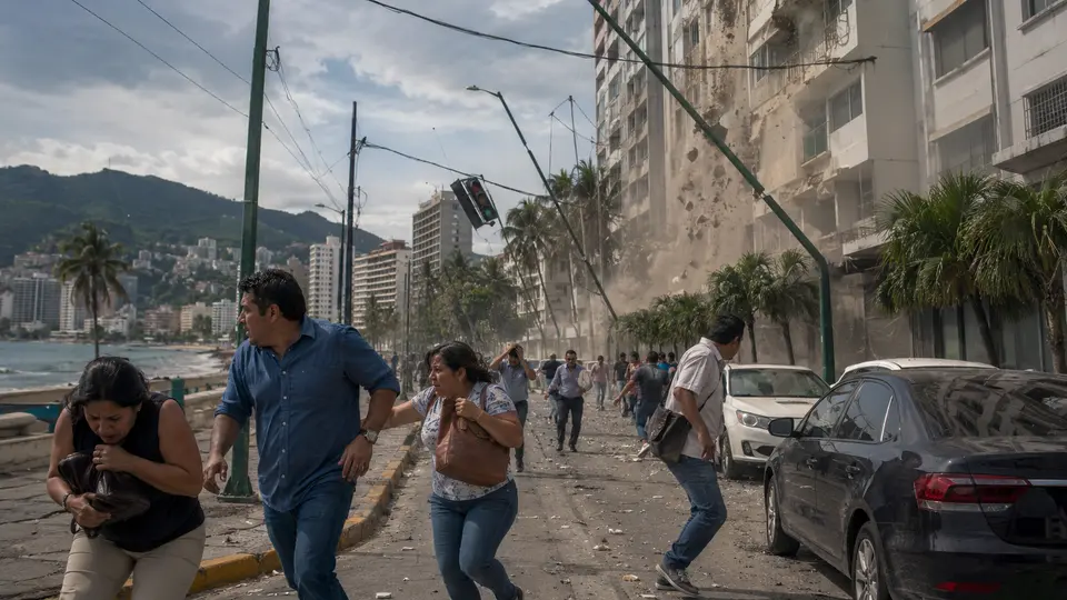

The Guerrero Gap has once again generated concern on social media due to its seismic potential and the magnitude 8.2 scenario used during the First National Earthquake Drill 2026.
Predicting an earthquake requires anticipating when it will occur, where it will originate, and what magnitude it will reach. Currently, there is no scientific procedure capable of establishing these three elements, meaning that posts announcing an upcoming magnitude 8.2 earthquake in Mexico have no scientific basis.
The content that has gone viral uses authentic information about the Guerrero Seismic Gap, but combines it with data from a preventive exercise and presents it as an alert. The existence of a tectonically active zone makes it possible to calculate risks and design emergency protocols; it does not mean that specialists have identified the arrival of a specific event.
The magnitude 8.2 was used solely as a hypothesis to evaluate emergency protocols in the event of a major earthquake.
A figure taken from the 2026 National Earthquake Drill
The magnitude mentioned on social media was used on Wednesday, May 6, 2026, when the First National Earthquake Drill was held at 11:00 a.m. Mexico City time. The National Civil Protection Coordination (CNPC) created a fictional emergency to evaluate the response of authorities, emergency brigades, rescue services, and citizens.
The exercise placed the epicenter 55 kilometers northwest of Acapulco, between Petatlán and Coyuca de Benítez, at a depth of 18 kilometers. The model proposed extreme intensity in Acapulco and severe impacts in Mexico City, conditions chosen to rehearse institutional coordination in response to a large-scale emergency.
Therefore, the number 8.2 did not come from a measurement anticipating a new movement, but from a hypothesis created by Civil Protection. Drills represent possible emergencies so people can practice what to do in response to them, while a prediction would imply knowing the characteristics of a real phenomenon in advance.
Specialists reiterate that there is currently no scientific method capable of determining the date, location, and magnitude of an earthquake.
What have scientists found off the coast of Guerrero?
Off the coast of Guerrero, the Cocos Plate moves beneath the North American Plate and produces deformations that are constantly monitored. This region is home to the Guerrero Gap, a segment of approximately 200 kilometers between Petatlán and Acapulco, where no major earthquake has occurred since 1911.
The absence of a large-scale rupture for more than a century has prompted research into how tectonic energy is released. Scientists from the National Autonomous University of Mexico (UNAM) have installed equipment on the seafloor and documented processes such as slow earthquakes, whose data contribute to a better understanding of the area’s behavior, but still do not make it possible to establish a date for an earthquake.
Source: record