")

Estimates from the National Weather Service speak of between 35 and 41 storms, and between 16 and 20 hurricanes
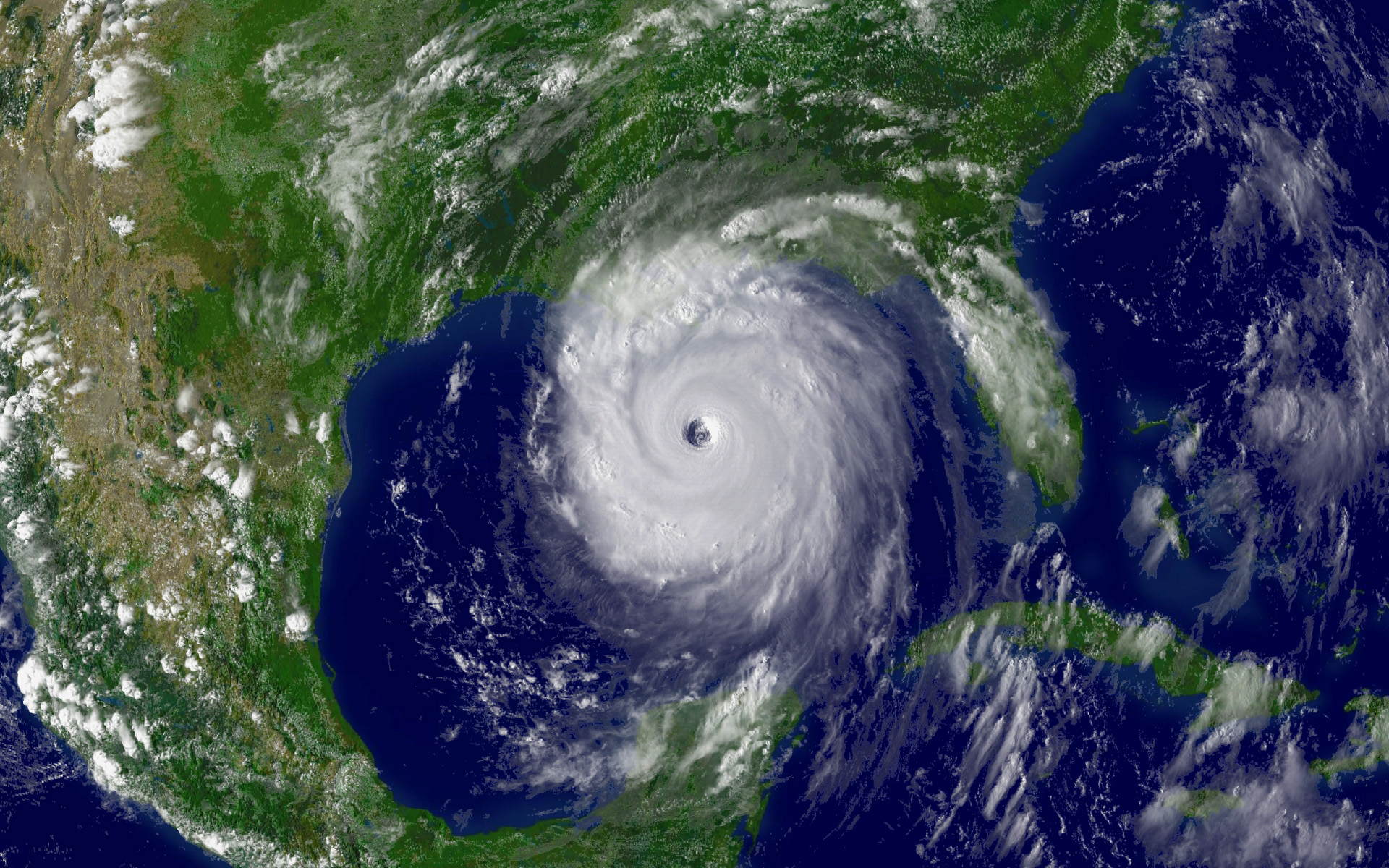
Meteorologists have been warning for some time: the chances are that the 2024 cyclone season is expected to be intense. The transit between El Niño and La Niña is one of the main reasons for this forecast.
New forecasts. The meteorological agencies of the North American countries are preparing for the hurricane season. One of them is the National Meteorological Service (SMN) of Mexico, which recently published its forecasts for the season.
According to the SMN, the oceans surrounding the country could see between 35 and 41 significant tropical storms, including those that reach hurricane status. This year the Atlantic side would take center stage, with between 20 and 23 of these storms occurring in the Atlantic Ocean.
Two sides of a coin. Of these 20-23 storms, between 11 and 12 would not reach hurricane status. Of the cyclones that do so, it is estimated that 5 or 6 could be category 2 or lower while 4 or 5 would be category 3 or higher.
For its part, in the Pacific there could be about 8 or 9 significant tropical storms but that do not reach hurricane status; 4 or 5 hurricanes of category 2 or lower; and 3 or 4 of higher categories.
A particularly intense season. These estimates are consistent with those published a few weeks ago by the University of Colorado referring to the Atlantic season, which spoke of about 23 storms in total, with 11 hurricanes, of which five would reach or exceed the third category. This coincides with the upper limit of the interval considered by the SMN.
The data corresponds to estimates and only time will tell to what extent they adjust to what we see this year. What does seem highly likely is that we will see an unusually active Atlantic season (and not so much in the Pacific).
Breeding ground. The reason why experts expect such a number of hurricanes and storms is twofold. For one thing, the water surface temperature is unusually high in the oceans. This factor is one of the main determinants in the formation of tropical storms. The temperatures experienced throughout last year may have contributed to this increase and thus to the current forecasts.
The second factor is the change in the El Niño Southern Oscillation (ENSO). Last year the predominant phase was the El Niño phase, but this is already declining and it is expected that towards the beginning of autumn it will give way to the La Niña phase. This second phase is associated with a higher water temperature in the Atlantic, which in turn would facilitate the formation of storms in this ocean.
15 th of May. The Pacific season will begin on May 15, while the Atlantic season will not have an “official” start until June 1. SMN will not be the only agency to monitor the state of the atmosphere during this season, the United States National Hurricane Center will begin to periodically report on the state of the atmosphere during this hurricane season on the same day, May 15.
Source: XATACA


